Sunday 7 July 2024 at 11:35
Tour de France '24 / Stage 9
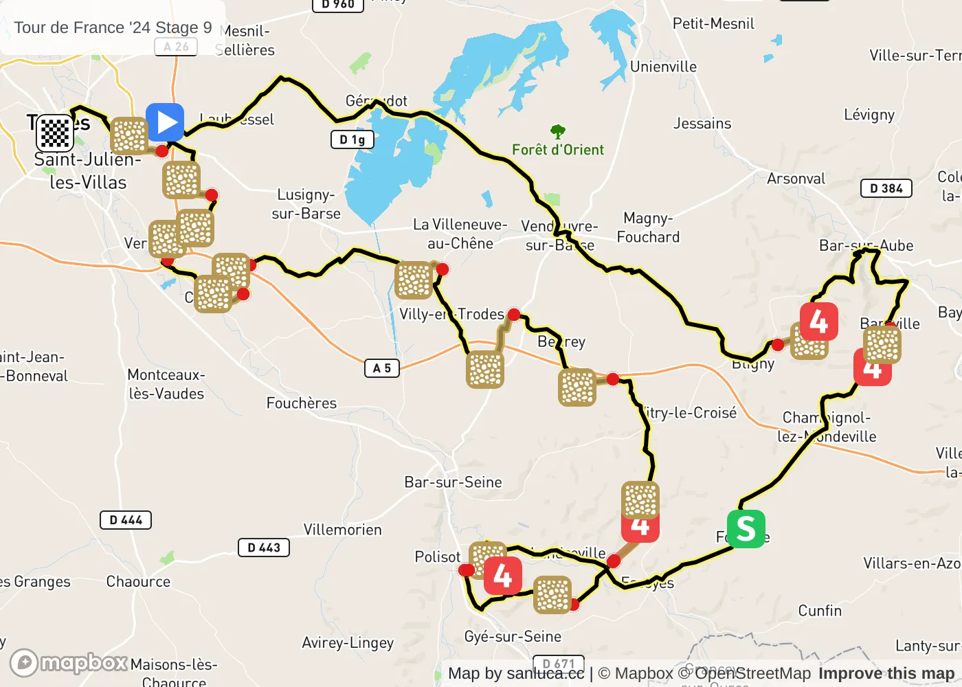
Troyes - Troyes
Classification: 2.UWT - Category ME
The stage
Stage 9 of the 2024 Tour de France is a lumpy stage that will take place on Sunday 7 July 2024 at 11:35.The stage starts in Troyes and finishes in Troyes. Start time is 11:35 with an expected finish at 16:00 (average speed of 45 km/h).
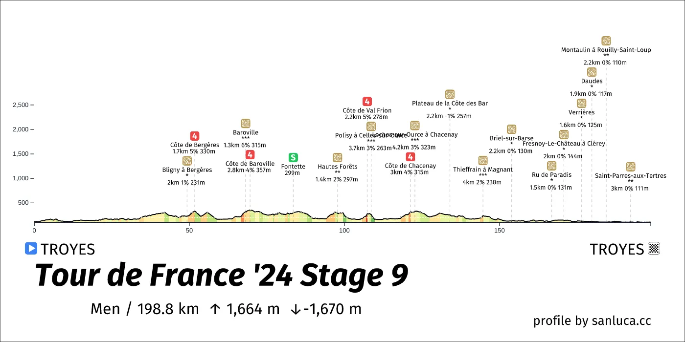
The total distance of the stage is 198.8 km. The stage includes 18 categorized climbs and 1 intermediate sprint. The stage has a total elevation gain of 1663.8 m with the highest altitude of the stage being 357 m. The total descent of the stage is -1670.1 m.
Weather and forecast
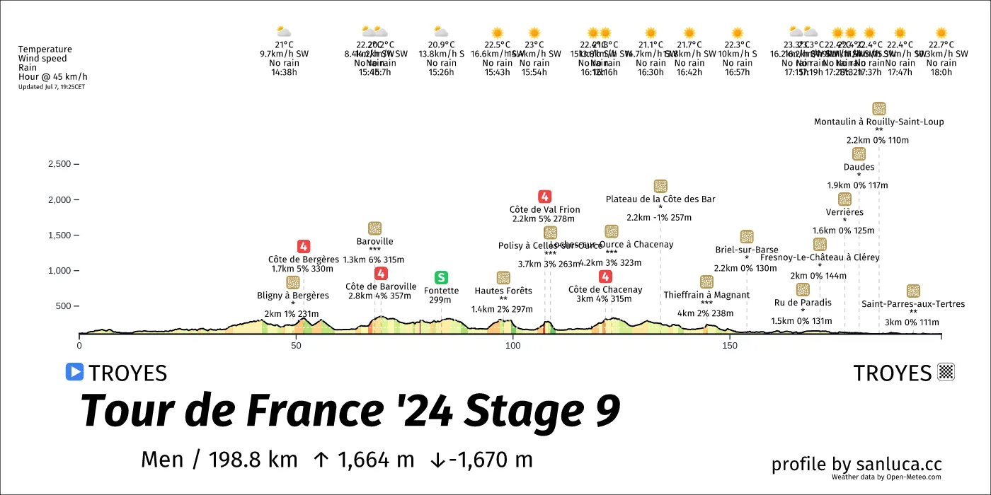
- The race will have temperatures between 20 and 23°C, with an average of 22°C.
- No rain is expected.
- The wind will come mainly from SW, S with an average of 13 km/h wind. The maximum wind speed will be 25 km/h with gusts of up to 43 km/h.
Points of interest
The stage includes 18 categorized climbs and 1 intermediate sprint.
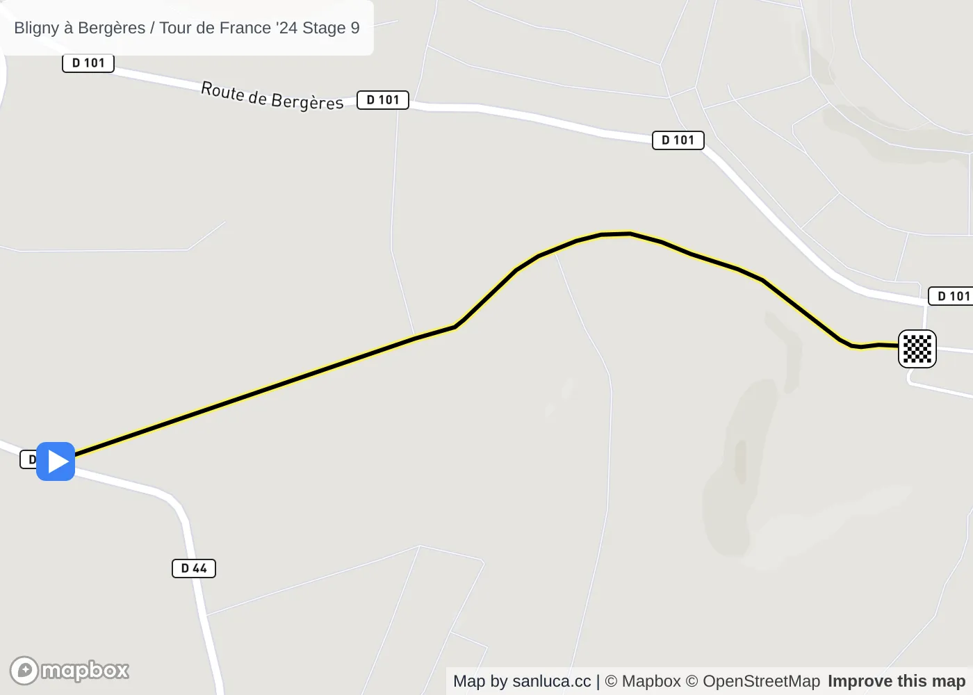
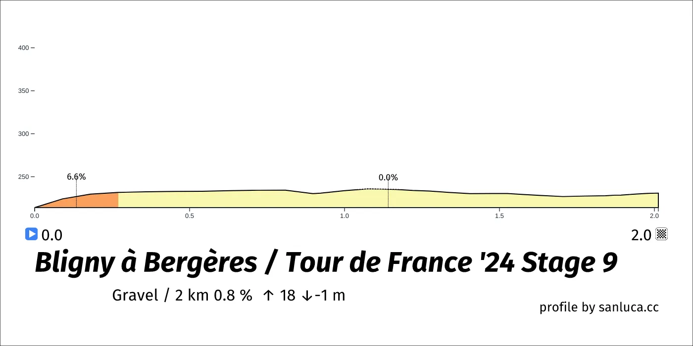
Bligny à Bergères
Bligny à Bergères is a Gravel section, which starts at 47.3 km (151.5 km to go) and ends at 49.3 km (149.5 km to go). It has total distance of 2 km, and an average gradient of 0.8%, going from 214 to 231 meters of altitude.
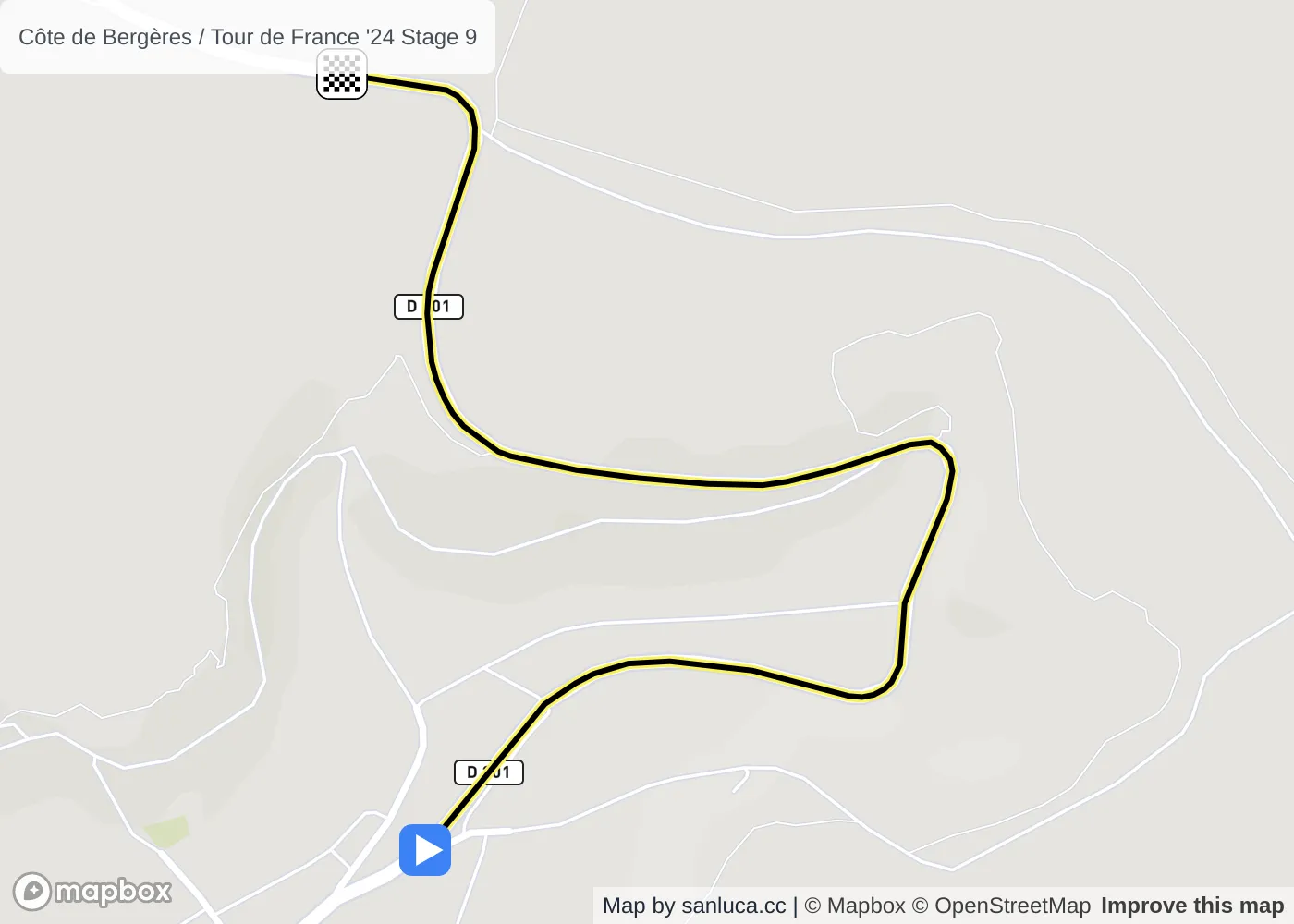
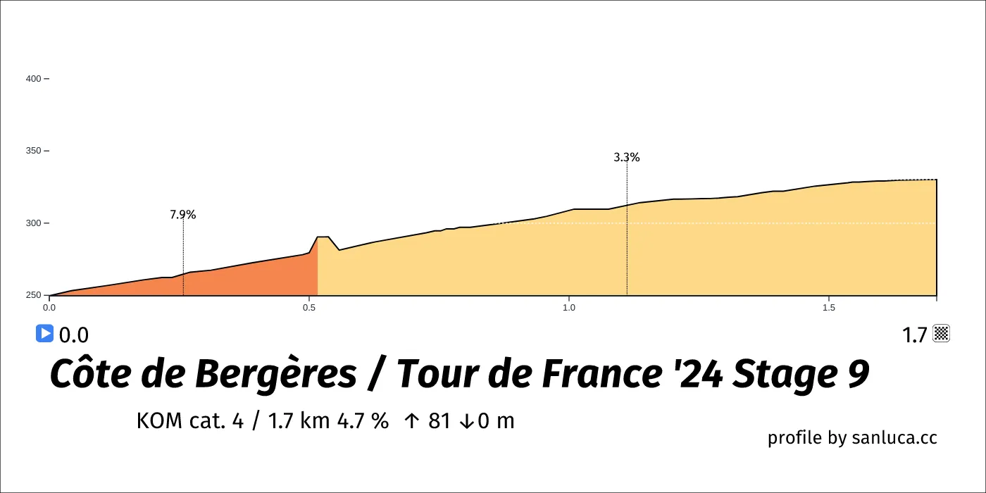
Côte de Bergères
Côte de Bergères is a KOM cat. 4 climb, which starts at 50 km (148.7 km to go) and ends at 51.7 km (147 km to go). It has total distance of 1.7 km, and an average gradient of 4.7%, going from 250 to 330 meters of altitude.
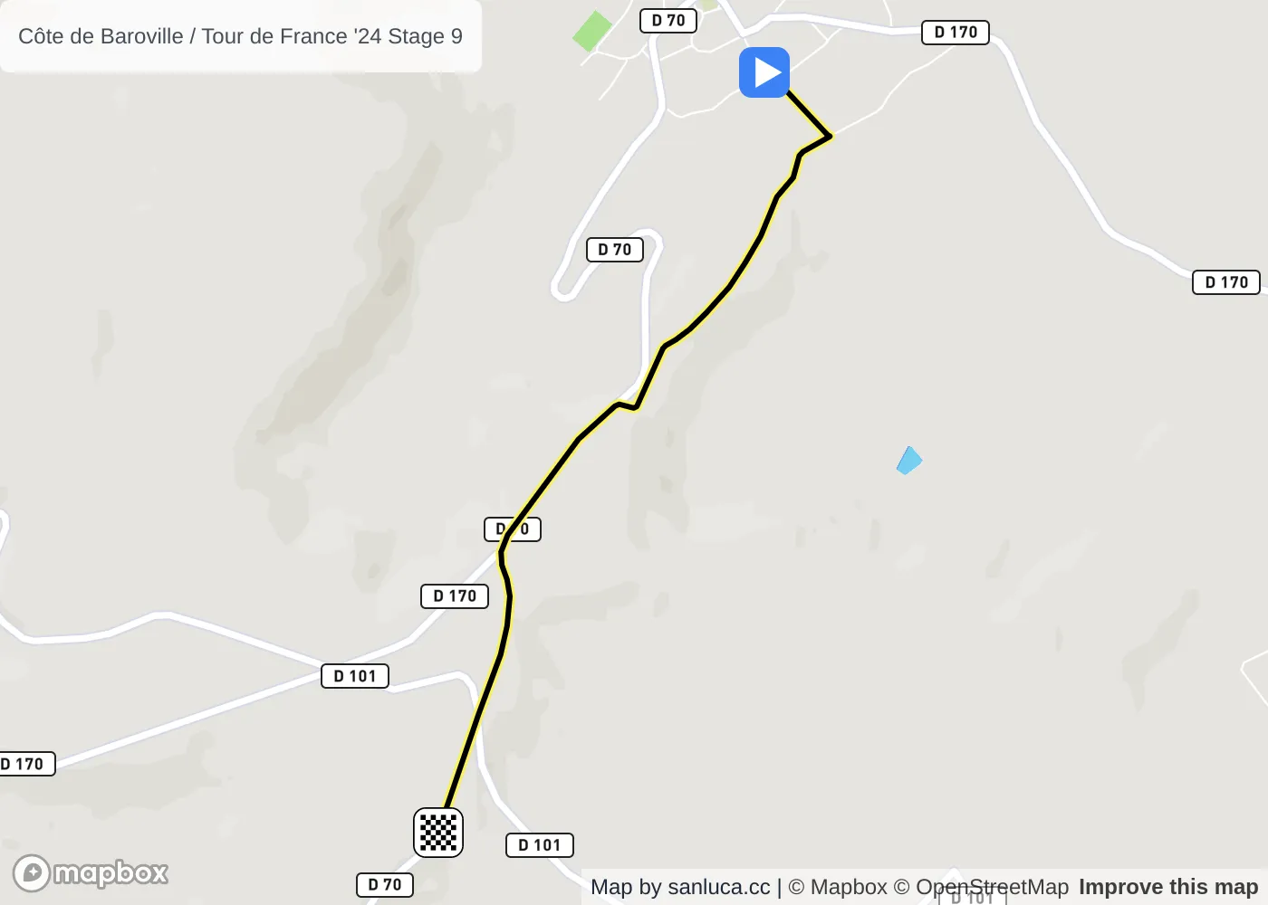
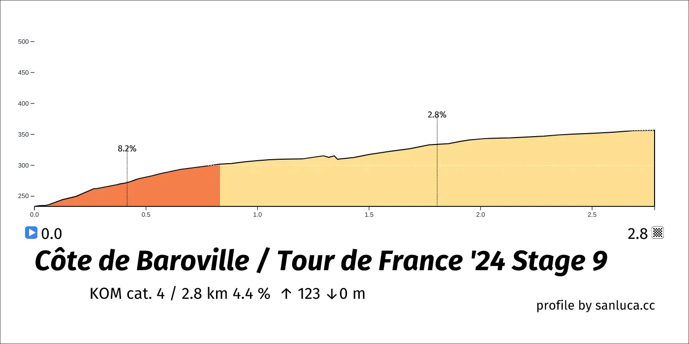
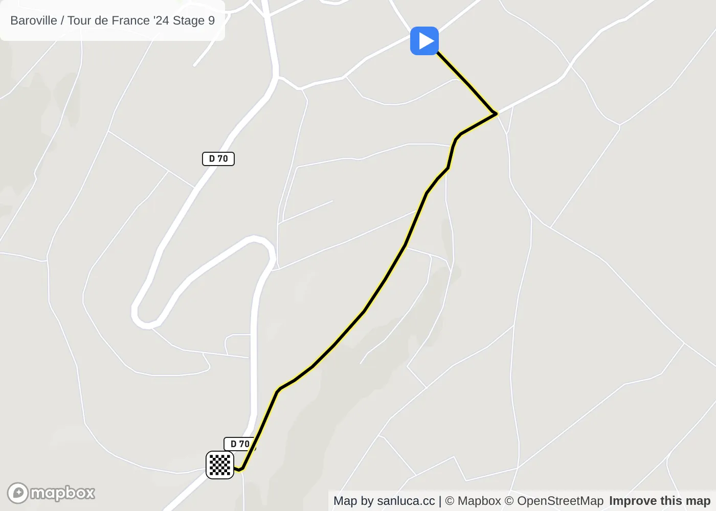
Côte de Baroville
Côte de Baroville is a KOM cat. 4 climb, which starts at 66.8 km (132 km to go) and ends at 69.6 km (129.2 km to go). It has total distance of 2.8 km, and an average gradient of 4.4%, going from 234 to 357 meters of altitude.
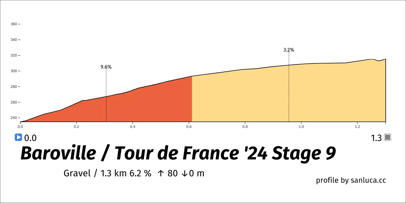
Baroville
Baroville is a Gravel section, which starts at 66.9 km (131.9 km to go) and ends at 68.2 km (130.6 km to go). It has total distance of 1.3 km, and an average gradient of 6.2%, going from 235 to 315 meters of altitude.
Fontette
Fontette is a Sprint at 83.5 km (115.3 km to go).
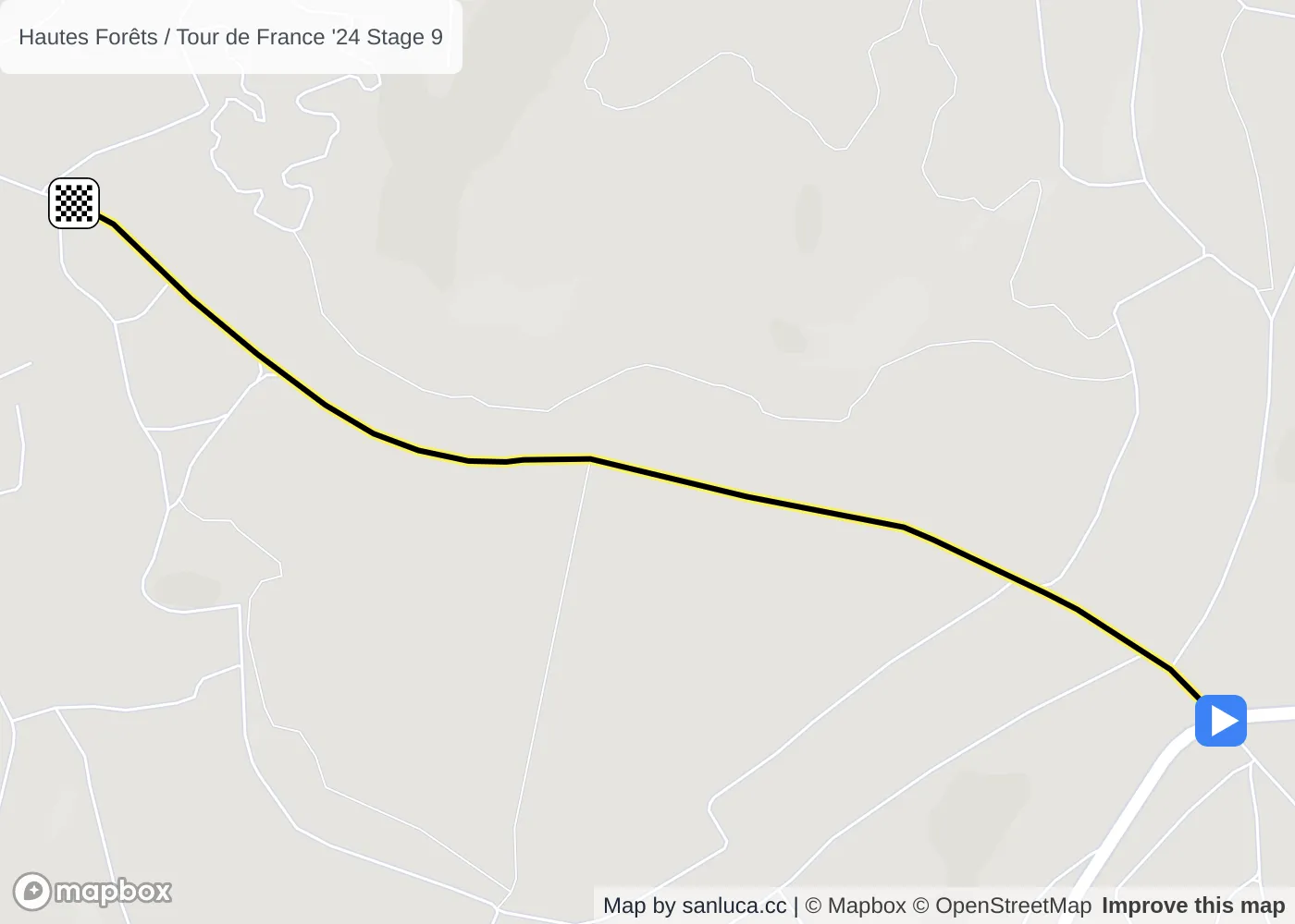
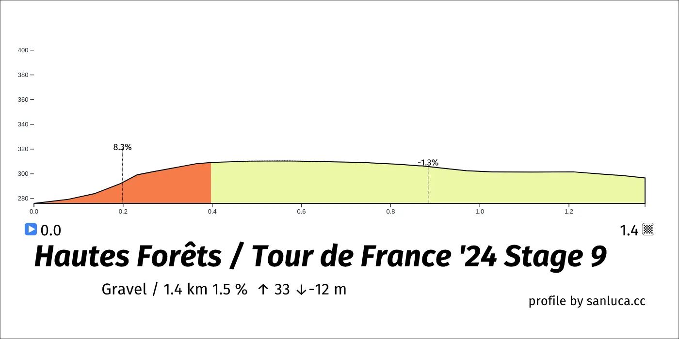
Hautes Forêts
Hautes Forêts is a Gravel section, which starts at 96.4 km (102.4 km to go) and ends at 97.8 km (101 km to go). It has total distance of 1.4 km, and an average gradient of 1.5%, going from 276 to 297 meters of altitude.
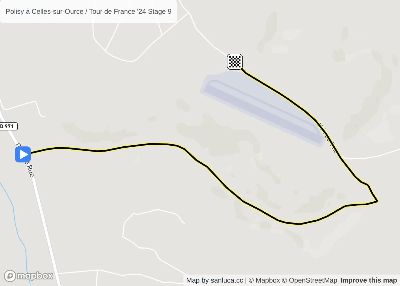
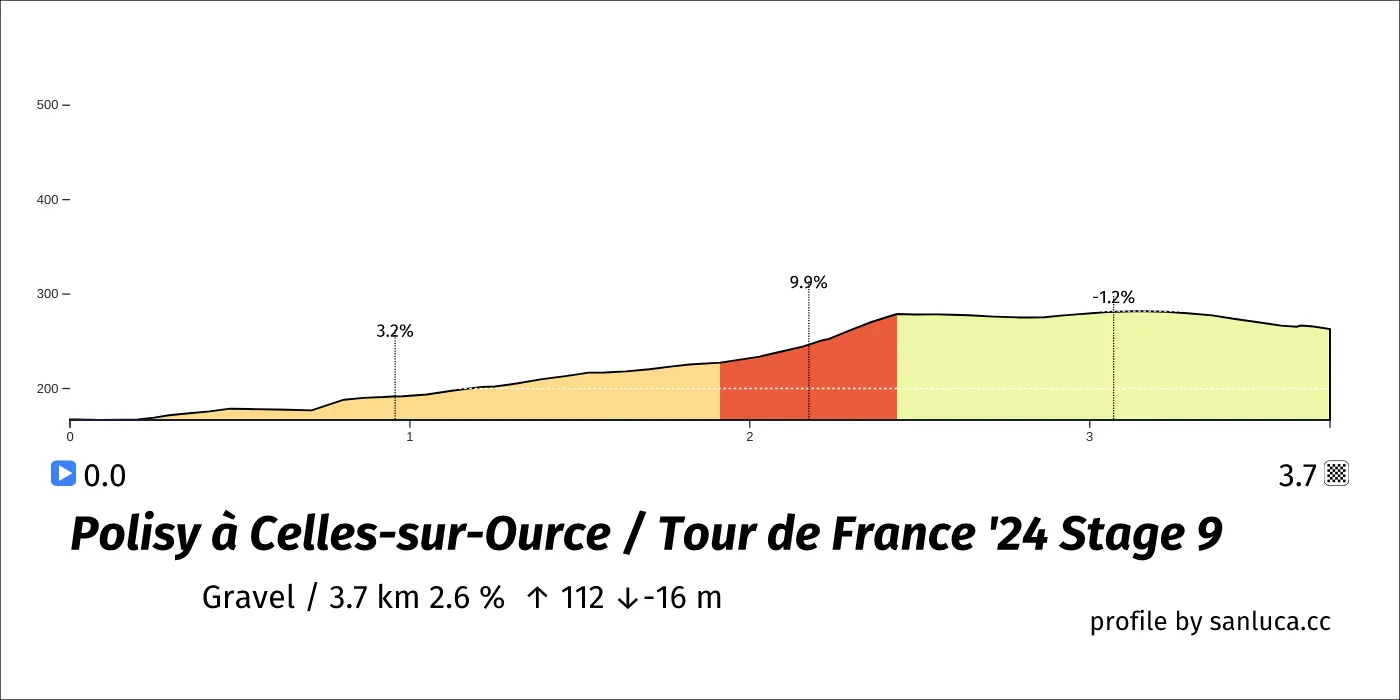
Polisy à Celles-sur-Ource
Polisy à Celles-sur-Ource is a Gravel section, which starts at 104.9 km (93.8 km to go) and ends at 108.6 km (90.1 km to go). It has total distance of 3.7 km, and an average gradient of 2.6%, going from 167 to 263 meters of altitude.
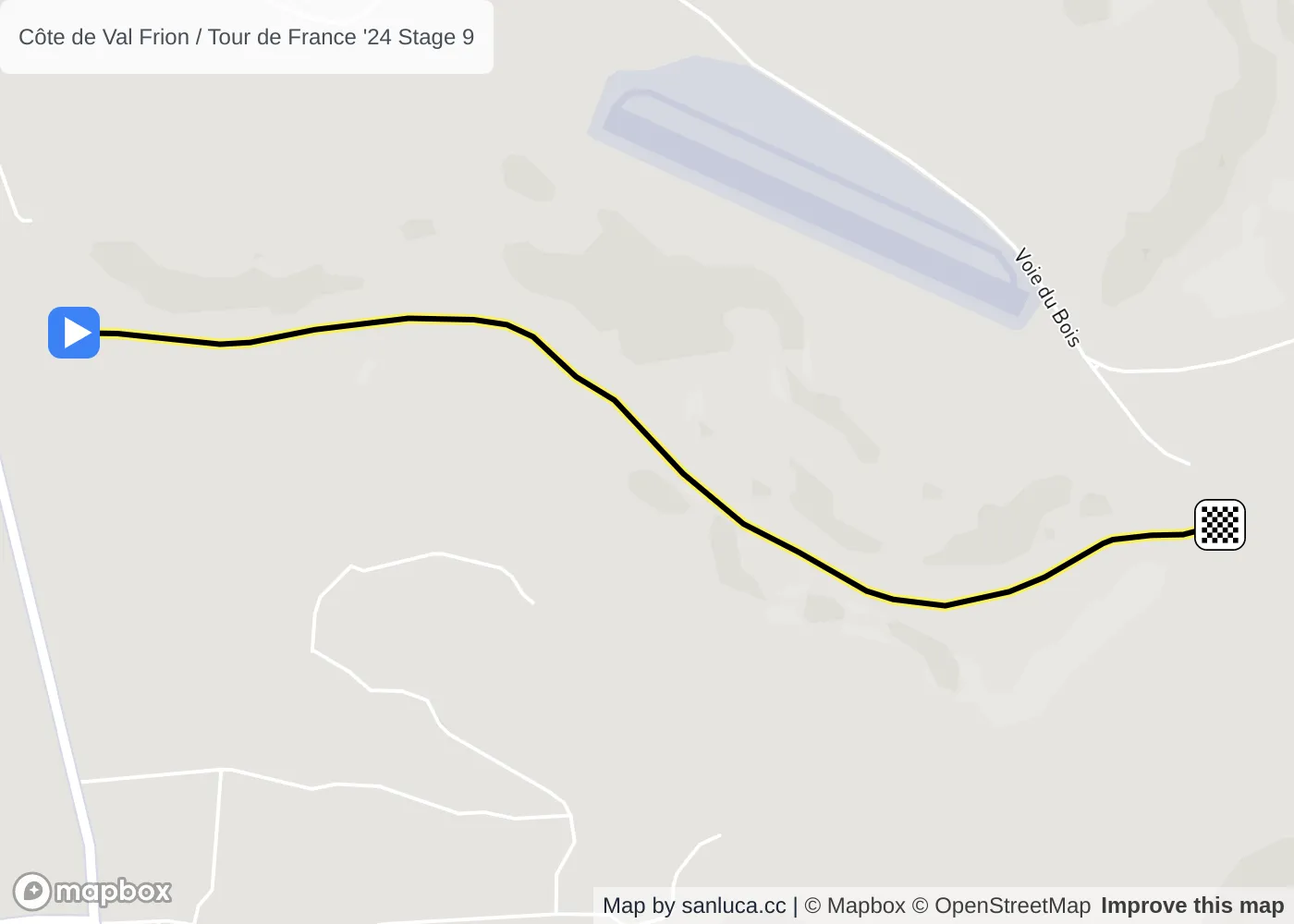
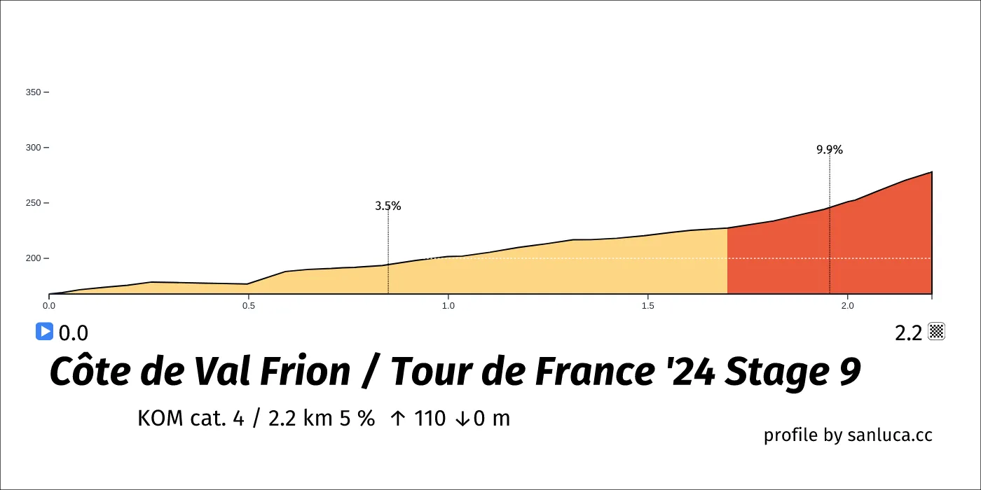
Côte de Val Frion
Côte de Val Frion is a KOM cat. 4 climb, which starts at 105.1 km (93.6 km to go) and ends at 107.4 km (91.4 km to go). It has total distance of 2.2 km, and an average gradient of 5%, going from 168 to 278 meters of altitude.
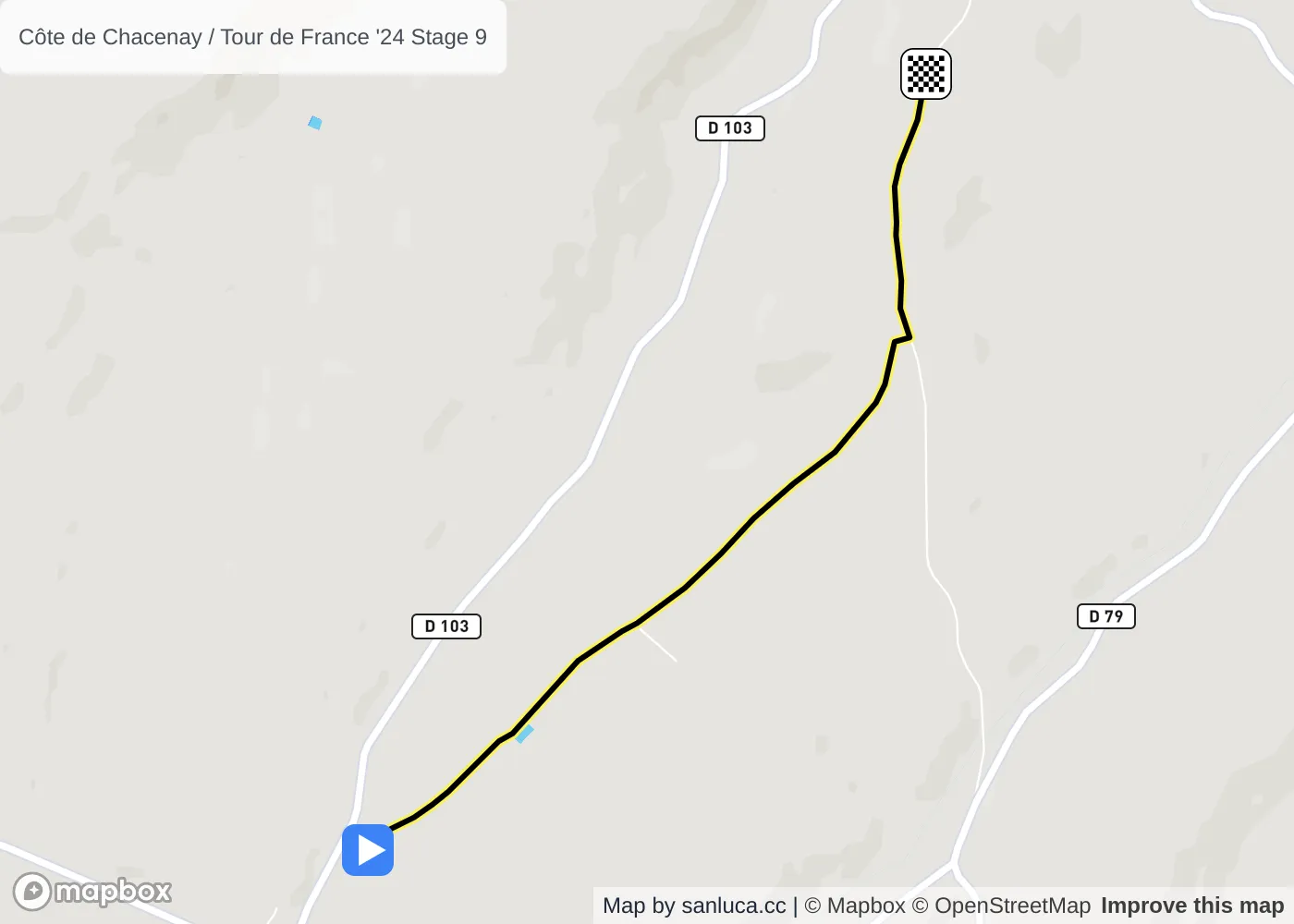
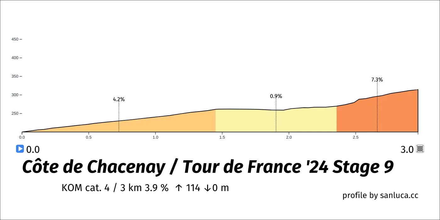
Côte de Chacenay
Côte de Chacenay is a KOM cat. 4 climb, which starts at 118.3 km (80.4 km to go) and ends at 121.3 km (77.5 km to go). It has total distance of 3 km, and an average gradient of 3.9%, going from 200 to 315 meters of altitude.
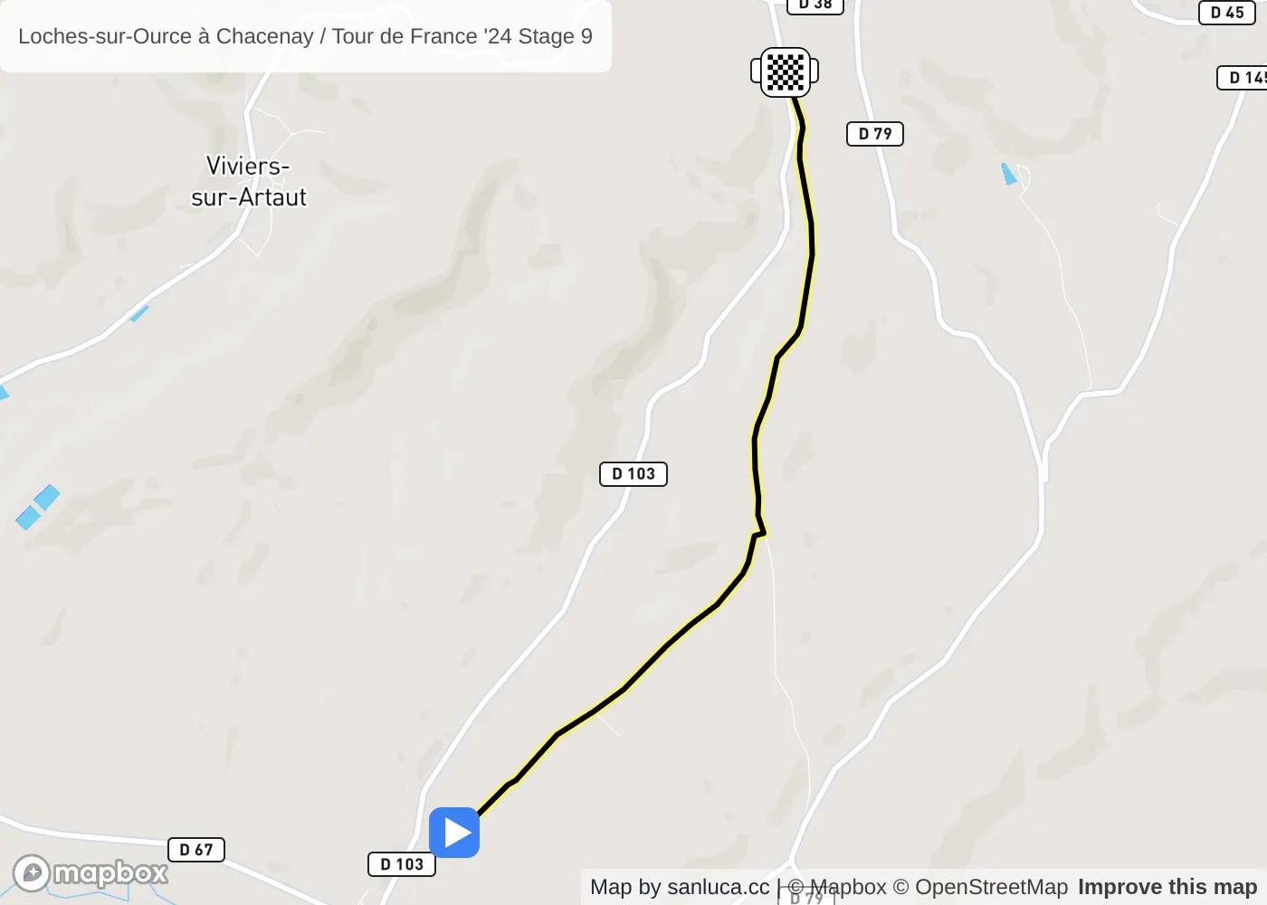
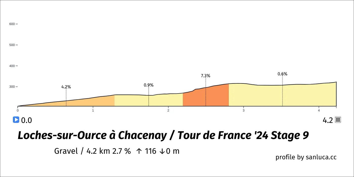
Loches-sur-Ource à Chacenay
Loches-sur-Ource à Chacenay is a Gravel section, which starts at 118.5 km (80.3 km to go) and ends at 122.7 km (76 km to go). It has total distance of 4.2 km, and an average gradient of 2.7%, going from 207 to 323 meters of altitude.
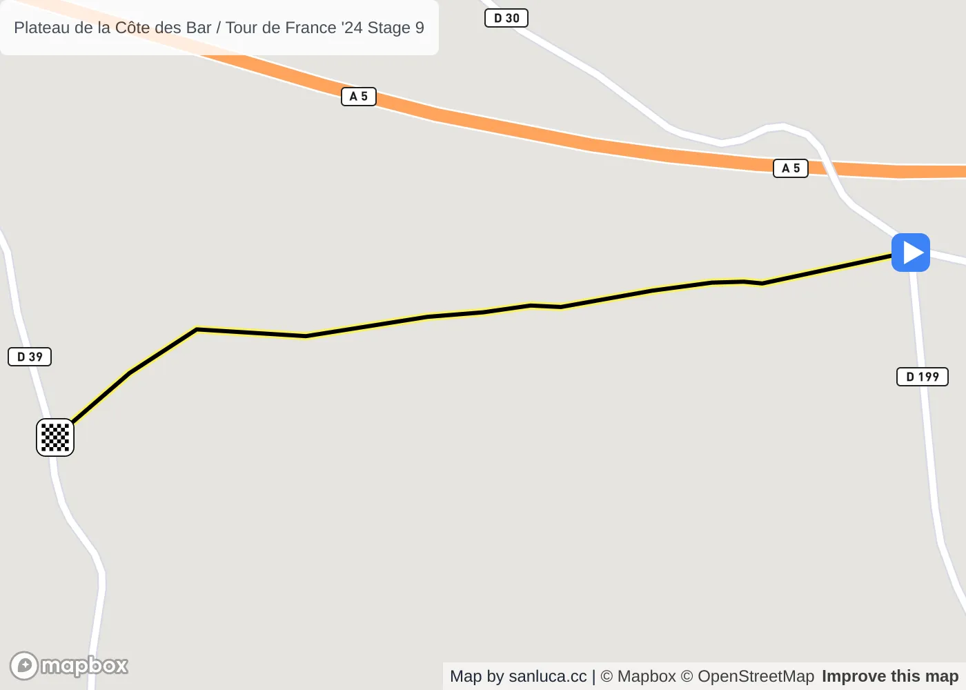
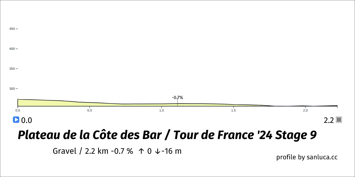
Plateau de la Côte des Bar
Plateau de la Côte des Bar is a Gravel section, which starts at 131.8 km (67 km to go) and ends at 134 km (64.8 km to go). It has total distance of 2.2 km, and an average gradient of -0.7%, going from 273 to 257 meters of altitude.
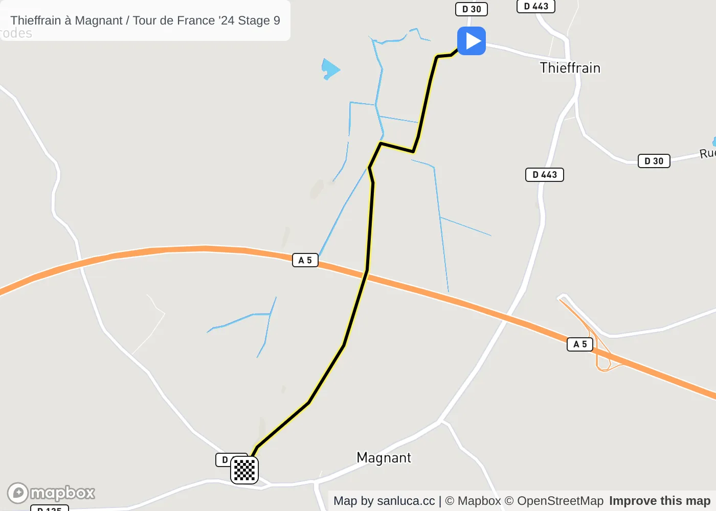
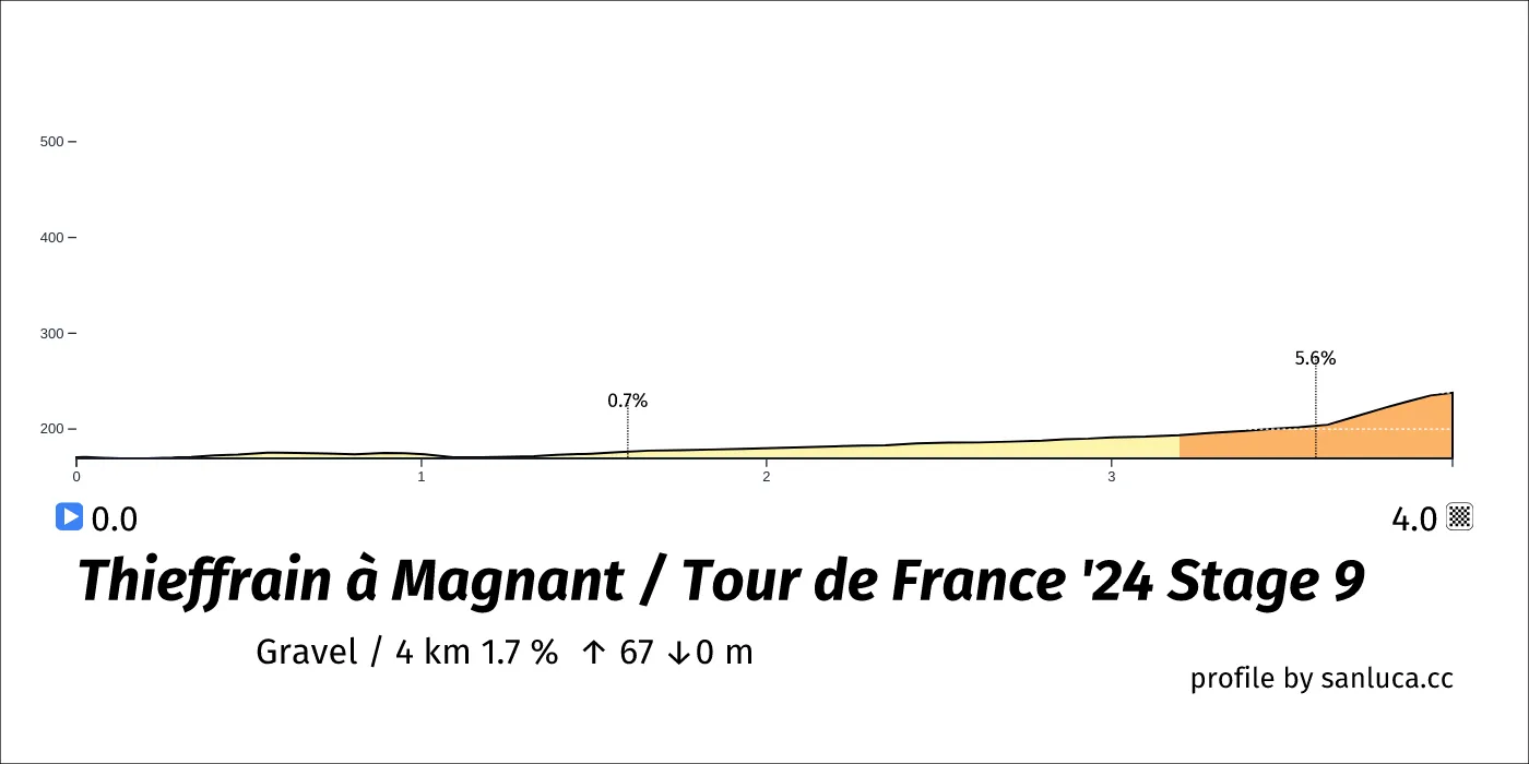
Thieffrain à Magnant
Thieffrain à Magnant is a Gravel section, which starts at 140.7 km (58.1 km to go) and ends at 144.7 km (54.1 km to go). It has total distance of 4 km, and an average gradient of 1.7%, going from 171 to 238 meters of altitude.
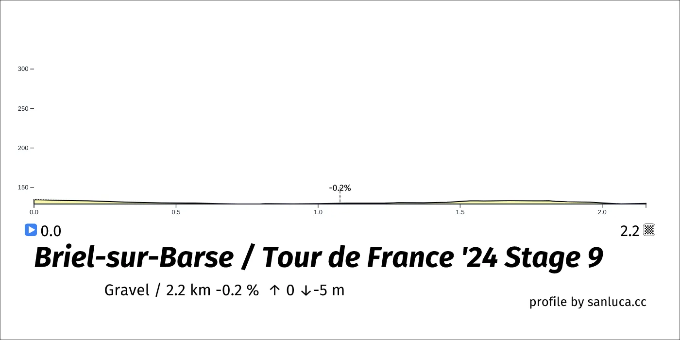
Briel-sur-Barse
Briel-sur-Barse is a Gravel section, which starts at 151.8 km (47 km to go) and ends at 153.9 km (44.9 km to go). It has total distance of 2.2 km, and an average gradient of -0.2%, going from 135 to 130 meters of altitude.
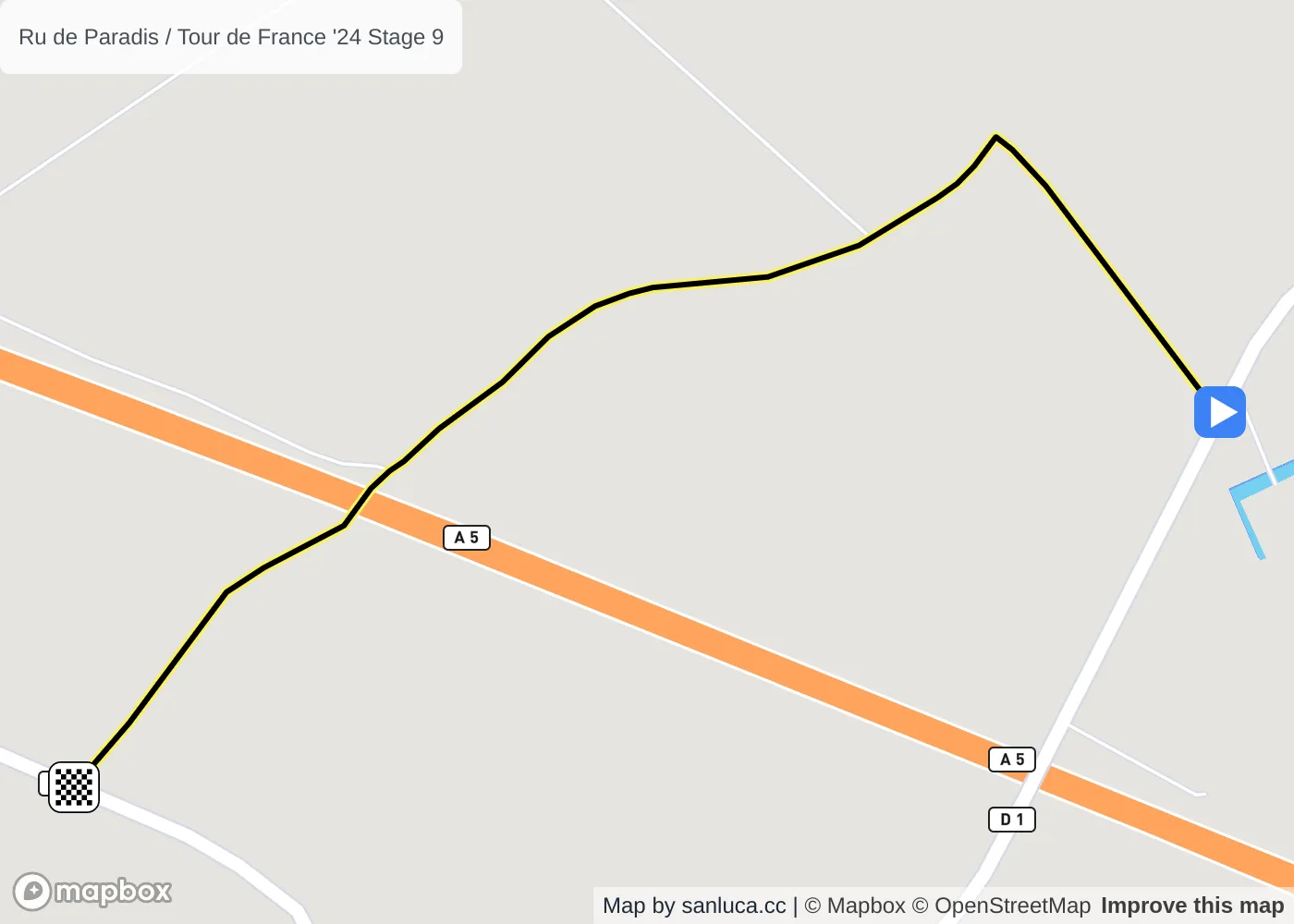
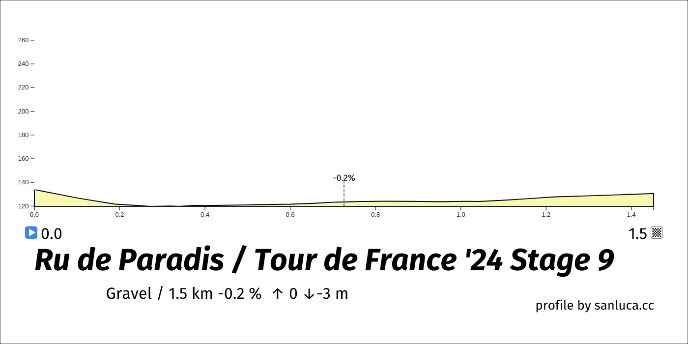
Ru de Paradis
Ru de Paradis is a Gravel section, which starts at 165.4 km (33.4 km to go) and ends at 166.8 km (31.9 km to go). It has total distance of 1.5 km, and an average gradient of -0.2%, going from 134 to 131 meters of altitude.
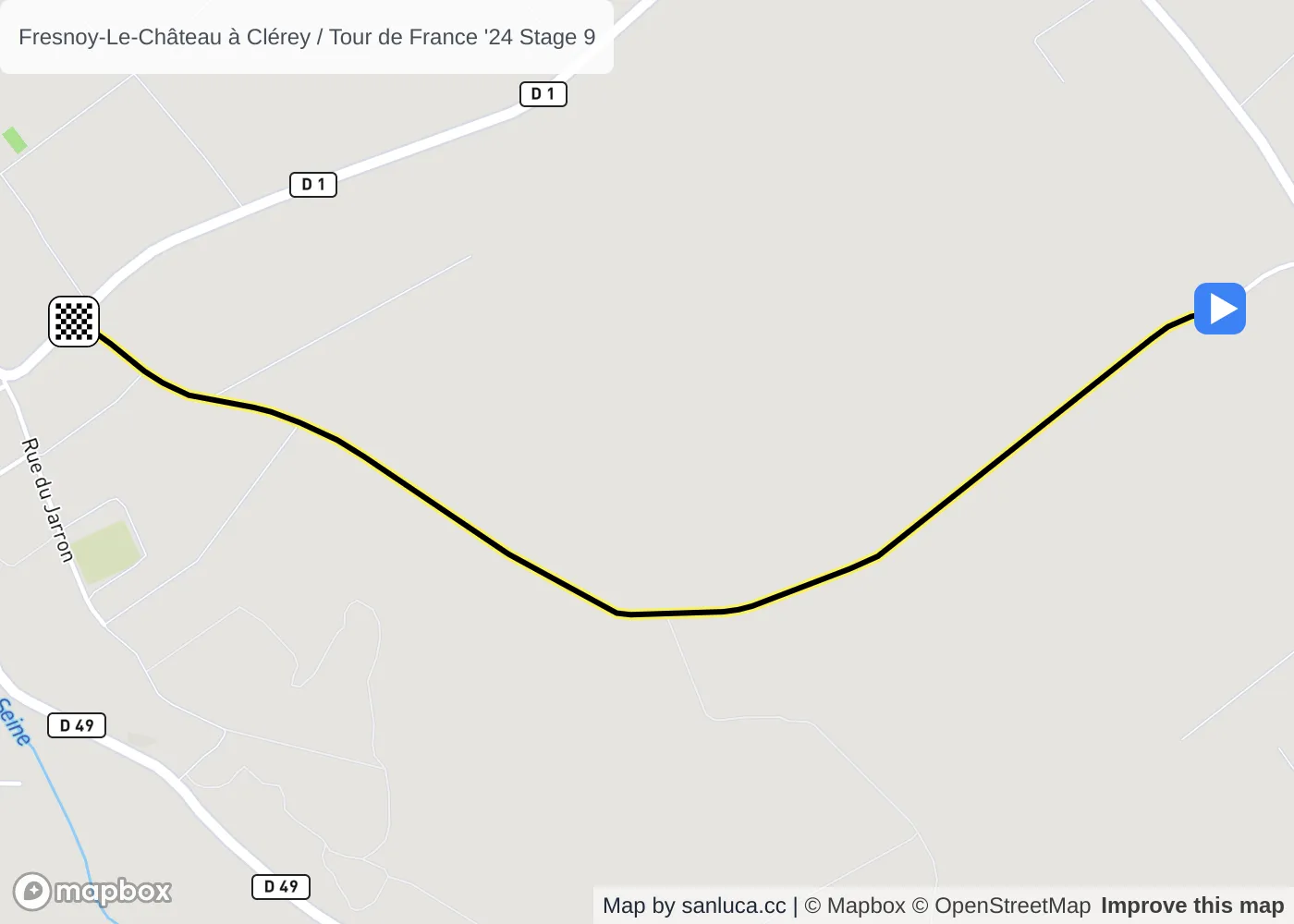
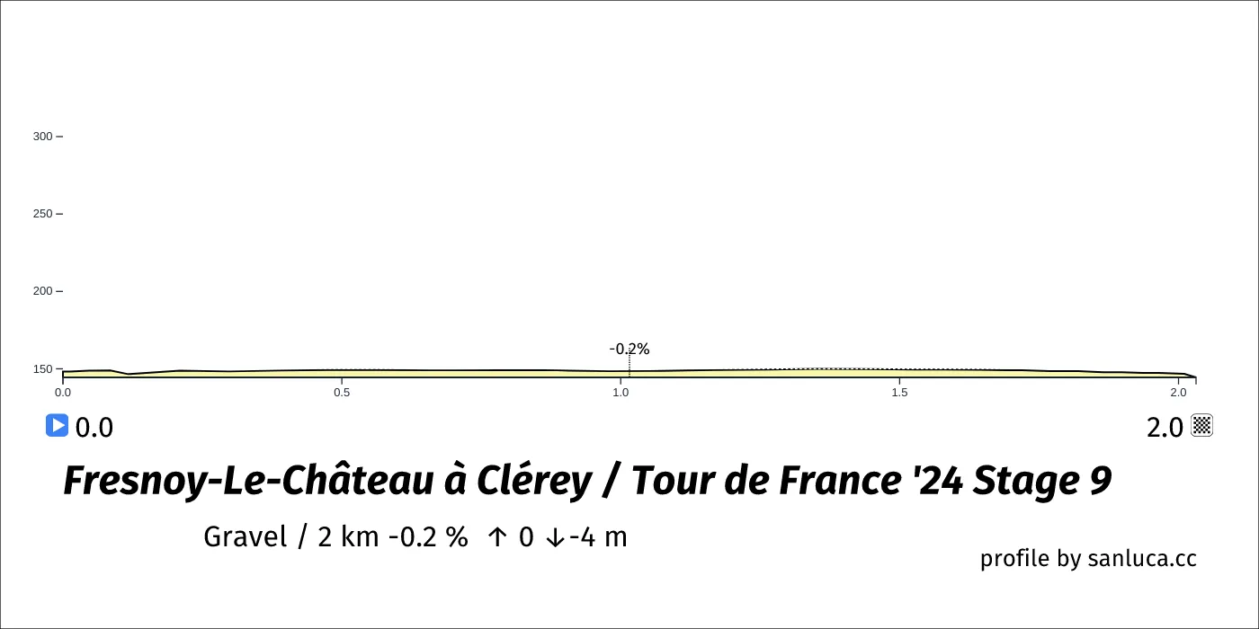
Fresnoy-Le-Château à Clérey
Fresnoy-Le-Château à Clérey is a Gravel section, which starts at 168.7 km (30.1 km to go) and ends at 170.8 km (28 km to go). It has total distance of 2 km, and an average gradient of -0.2%, going from 148 to 144 meters of altitude.
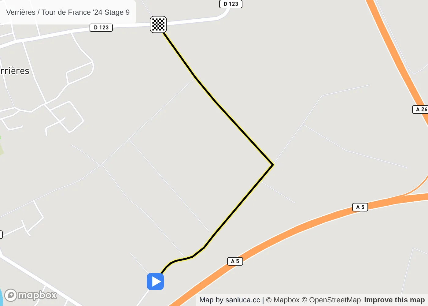
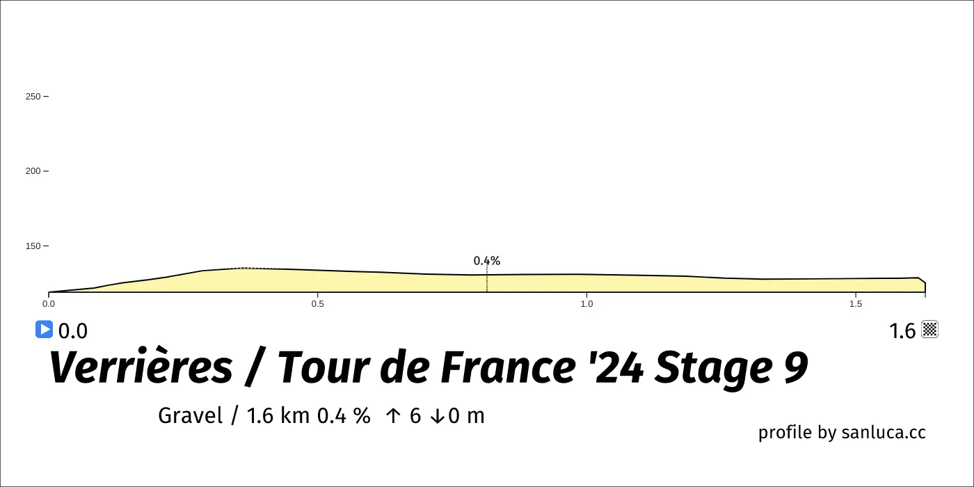
Verrières
Verrières is a Gravel section, which starts at 174.9 km (23.9 km to go) and ends at 176.5 km (22.3 km to go). It has total distance of 1.6 km, and an average gradient of 0.4%, going from 119 to 125 meters of altitude.
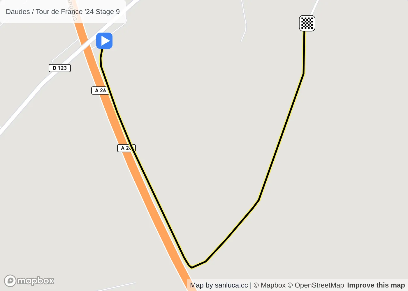
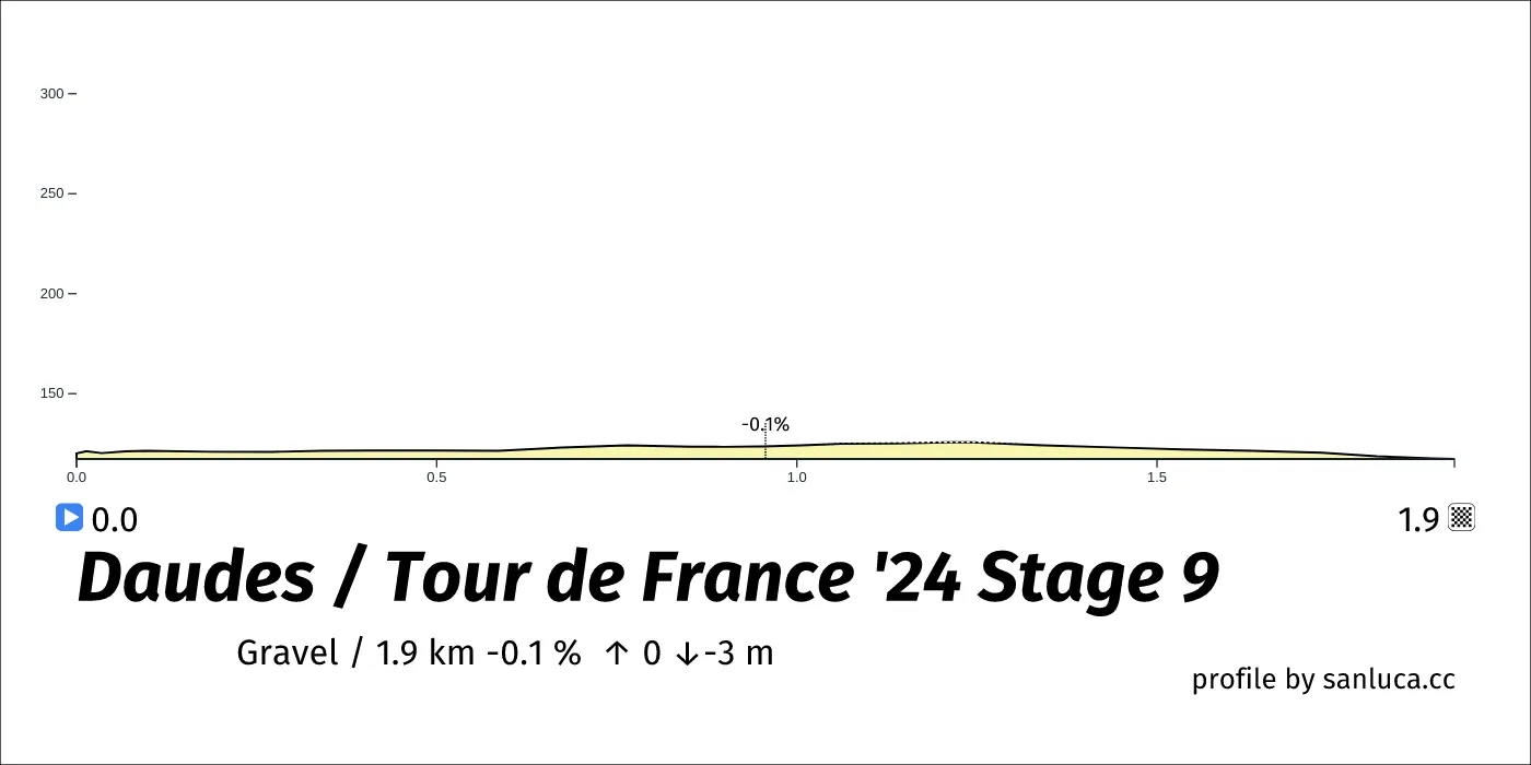
Daudes
Daudes is a Gravel section, which starts at 177.9 km (20.9 km to go) and ends at 179.8 km (19 km to go). It has total distance of 1.9 km, and an average gradient of -0.1%, going from 120 to 117 meters of altitude.
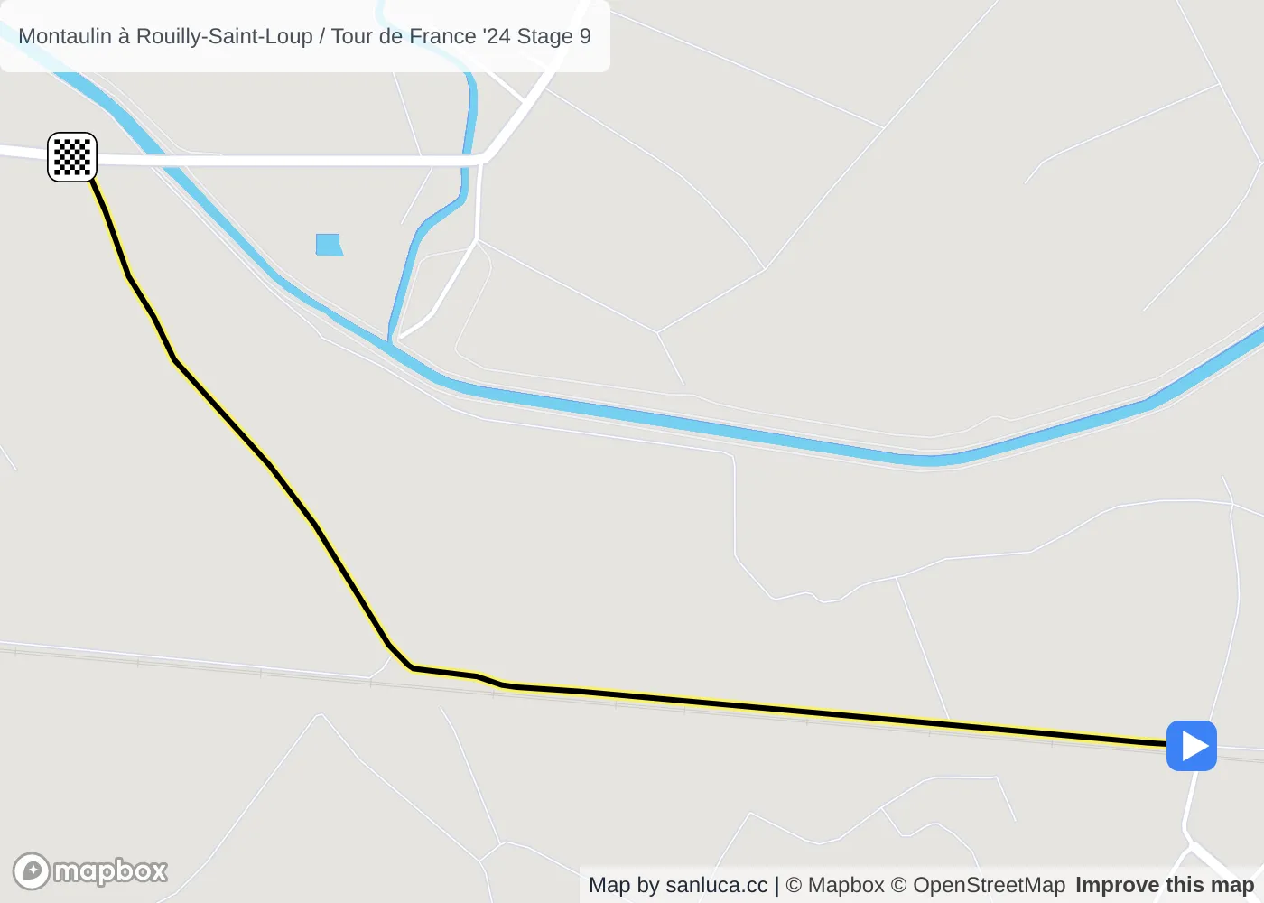
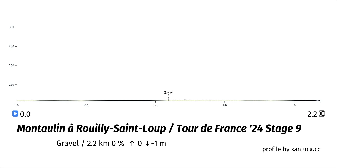
Montaulin à Rouilly-Saint-Loup
Montaulin à Rouilly-Saint-Loup is a Gravel section, which starts at 182.2 km (16.6 km to go) and ends at 184.4 km (14.4 km to go). It has total distance of 2.2 km, and an average gradient of 0%, going from 111 to 110 meters of altitude.
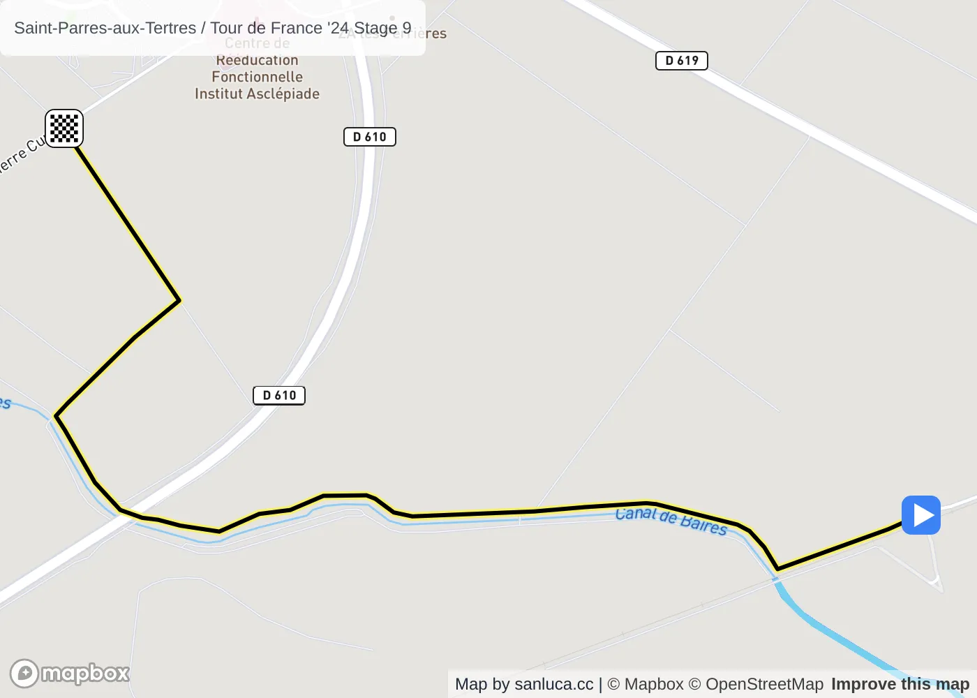
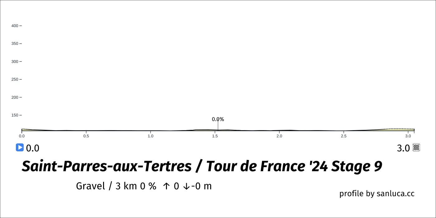
Saint-Parres-aux-Tertres
Saint-Parres-aux-Tertres is a Gravel section, which starts at 189.3 km (9.5 km to go) and ends at 192.3 km (6.5 km to go). It has total distance of 3 km, and an average gradient of 0%, going from 111 to 111 meters of altitude.
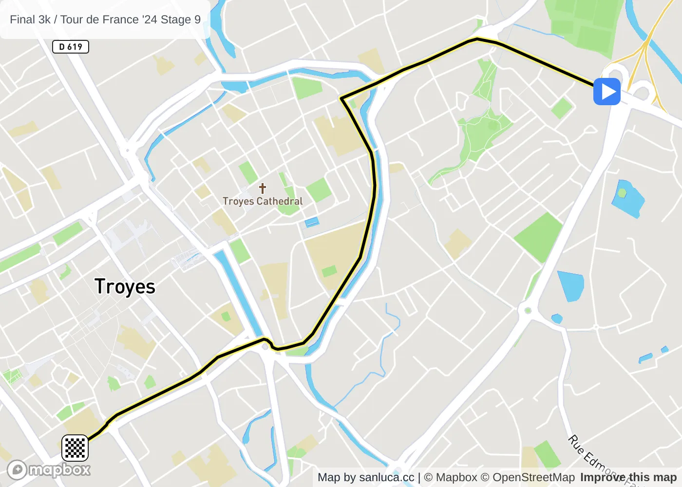
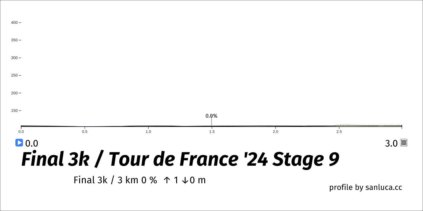
Final 3k
The final 3 km for this stage starts at 195.8 km, has an average gradient of 0%, and reaching 108 m of altitude.
